Updated: 2026-02-16
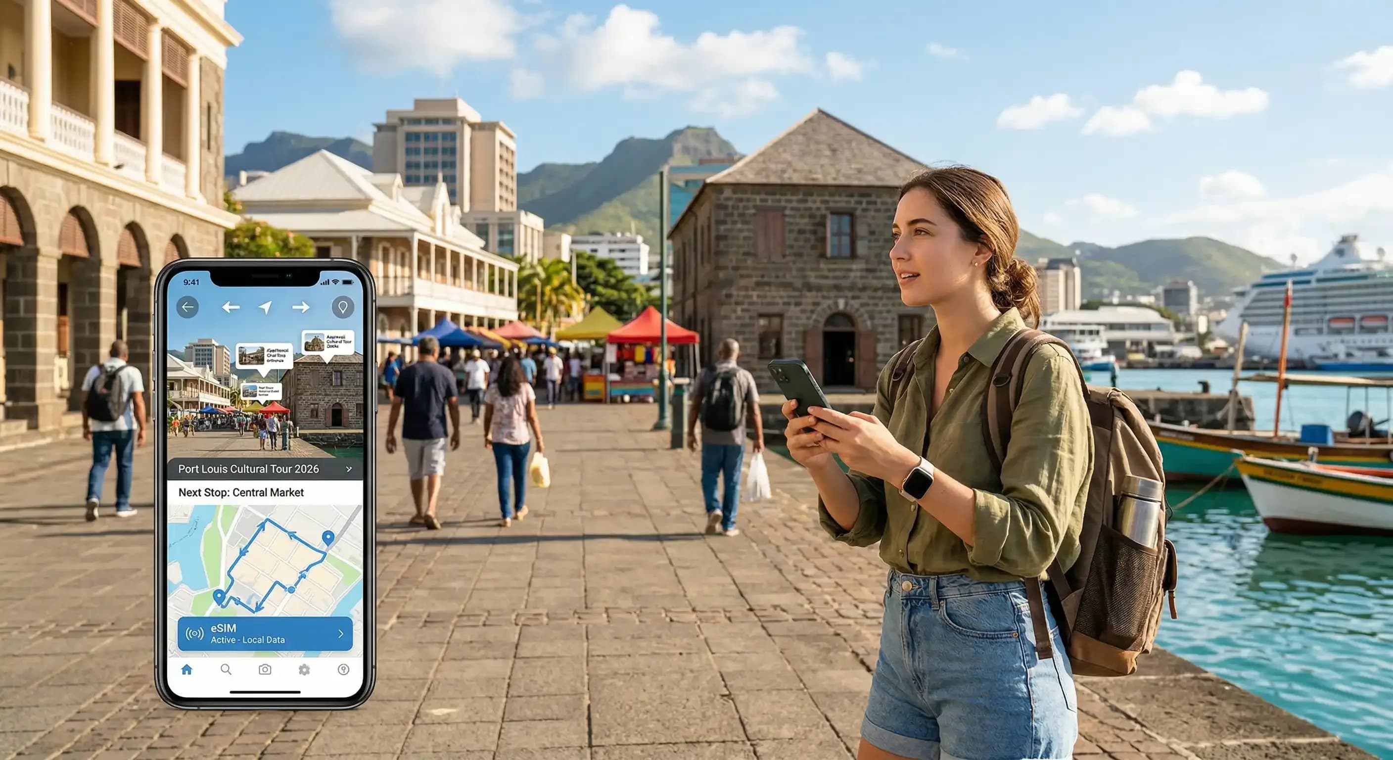
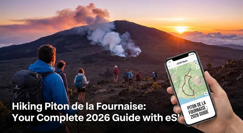
There's a unique, primal feeling that comes from standing on the edge of one of the world's most active volcanoes. The air is thin, the landscape is a stark canvas of reds and blacks, and you are keenly aware of the immense power simmering just beneath your feet. This is Piton de la Fournaise on Reunion Island, a place that redefines the word 'epic'. But getting to that crater rim, navigating the otherworldly Plaine des Sables, and sharing that triumphant photo requires more than just sturdy boots. It demands smart preparation, and in 2026, that means having reliable connectivity, specifically through the power of eSIM maps.
This is your complete Piton de la Fournaise hike guide 2026, built from experience and designed to ensure your adventure is seamless, safe, and fully connected using advanced digital tools. For anyone new to modern travel tech, understanding the basics is the first step towards a connected journey. Cellesim provides robust data solutions for adventurers, ensuring you stay in touch no matter how remote your exploration.
- Preparing for the Piton de la Fournaise Trek in 2026
- Understanding Piton de la Fournaise: Routes and Challenges
- The Critical Role of eSIMs in Volcanic Hiking Safety and Navigation
- Leveraging eSIM for Offline Maps and Real-Time Updates
- Activating Your Cellesim eSIM for Reunion Island
- eSIM vs. Traditional Connectivity for Reunion Treks
- Responsible Hiking and Environmental Stewardship on Piton de la Fournaise
- Frequently Asked Questions
Reunion Island eSIM Plans from $6.99
Conquer Piton de la Fournaise with reliable connectivity. Join 50,000+ travelers who connect instantly with Cellesim.
Get Your Reunion eSIMPreparing for the Piton de la Fournaise Trek in 2026
Successful trekking on Piton de la Fournaise begins long before you set foot on the volcanic rock. The dynamic environment of this active volcano demands thorough preparation. For 2026, ensure you are aware of the latest access regulations and weather advisories. The hike can be physically demanding, with significant elevation changes and exposure to the elements. Physical fitness is crucial.
Key preparations include:
- Permits and Access: While specific hiking permits are not always required for the main trails, access to the volcano's caldera and certain trails can be restricted during periods of heightened activity. Always check the official website of the Pitons, Cirques et Remparts National Park or the Reunion Island Tourism Board for real-time updates before your trip.
- Best Time to Visit: The dry season, typically from May to November, offers more stable weather conditions and clearer skies, making it ideal for hiking. However, rainfall can occur year-round.
- Essential Gear: Sturdy hiking boots, layered clothing (temperatures can drop significantly), waterproof outer shell, headlamp (for early starts or unexpected delays), sufficient water (at least 2-3 litres per person), high-energy snacks, sun protection (hat, sunscreen, sunglasses), and a first-aid kit are non-negotiable.
Understanding Piton de la Fournaise: Routes and Challenges
Piton de la Fournaise offers several trails, with the most popular starting from the Pas de Bellecombe viewpoint, offering a spectacular panorama of the caldera, Enclos Fouqué. From here, a well-marked path descends into the caldera, leading hikers across the vast and stark landscape of the Plaine des Sables, an area resembling a lunar surface, before ascending to the rim of the active Dolomieu Crater.
Key features and challenges of the hike include:
- Plaine des Sables: This expansive, barren plain is a major highlight, characterized by its reddish-brown volcanic ash and small volcanic cones. Navigation can be tricky in foggy conditions, emphasizing the need for reliable GPS and offline maps.
- Crater Dolomieu: The summit crater offers an awe-inspiring view into the volcano's heart. Note that entry into the crater itself is strictly prohibited for safety reasons.
- Trail Markings: The main trails are typically marked with white paint dots on rocks, but these can be obscured by fog or heavy rain.
- Elevation: The descent into the caldera and subsequent ascent to the crater rim involve significant changes in altitude, requiring good stamina. The air at higher elevations can feel thinner.
The Critical Role of eSIMs in Volcanic Hiking Safety and Navigation
In the challenging environment of Piton de la Fournaise, an eSIM transitions from a convenience to a crucial safety tool. Unlike traditional physical SIM cards, an eSIM integrates directly into your device, offering instant connectivity without the need to swap cards. This is particularly beneficial when traveling to remote locations like Reunion Island.
Here’s why an eSIM is indispensable for your volcanic trek:
- Emergency Communication: In case of an injury, getting lost, or encountering rapidly changing weather, a connected phone is your lifeline. Cellesim provides consistent data coverage, allowing you to call for help, send your GPS coordinates, or access emergency services.
- Real-Time Weather Updates: Mountain weather is unpredictable. With an eSIM, you can receive up-to-the-minute forecasts and alerts, helping you make informed decisions about continuing or turning back.
- GPS Navigation: While trail markings exist, fog or unfamiliar terrain can disorient hikers. An eSIM enables reliable GPS tracking and map usage on your smartphone, preventing you from straying off the designated path. This is especially vital in the vast and featureless Plaine des Sables.
- Staying Connected: Share your location with loved ones, update your status, or simply enjoy peace of mind knowing you are connected to the outside world.
Before you depart, ensure your device is eSIM compatible. Most newer smartphones support eSIM technology.
Leveraging eSIM for Offline Maps and Real-Time Updates
The beauty of using an eSIM for your Piton de la Fournaise adventure lies in its ability to facilitate both robust online capabilities and essential offline navigation. Many areas on the volcano, especially within the caldera, may have intermittent cellular signal. This is where pre-downloaded maps, powered by your eSIM data, become invaluable.
Consider these strategies:
- Offline Map Applications: Download detailed topographical maps of Piton de la Fournaise using apps like AllTrails, Gaia GPS, or even Google Maps' offline feature. Your Cellesim eSIM ensures you have the data needed to download these maps before you head out, and to periodically refresh them when signal is available.
- GPS Tracking: Even without active cellular signal, your smartphone’s GPS functions. With pre-loaded maps, you can accurately track your position and progress along the trail, even if you are offline.
- Route Planning and Recording: Use your eSIM data to research routes, download GPX files, and record your actual hike for later review. This can be useful for safety and for sharing your journey.
- Emergency Location Sharing: In an emergency, if you briefly catch a signal, your eSIM allows for rapid transmission of your precise location, a feature that can significantly reduce response times for rescue services.
Understanding how much data you might need for map downloads, real-time updates, and general communication can be estimated using our Smart Data Calculator.
Instant Setup
Get connected in minutes.
200+ Countries
Global coverage for your travels.
50K+ Users
Trusted by travelers worldwide.
Explore All Cellesim eSIM Plans
Activating Your Cellesim eSIM for Reunion Island
Setting up your Cellesim eSIM for Reunion Island is a straightforward process, designed to get you connected quickly, even before you arrive. This ensures you have data as soon as you land, perfect for checking airport transfers or immediate navigation.
Here’s a simplified guide:
- Purchase Your Plan: Visit cellesim.com/en/esim-reunion and select an eSIM plan that suits your data needs and duration for your trip to Reunion.
- Receive QR Code: After purchase, you will receive an email with a QR code or manual activation details. Ensure you have access to another device or print the QR code.
- Install eSIM: On your eSIM-compatible smartphone, go to Settings > Cellular/Mobile Data > Add eSIM. Scan the QR code or enter the details manually.
- Activate Data Plan: Follow the prompts to name your eSIM (e.g., "Reunion eSIM") and ensure it is selected for cellular data usage when you arrive in Reunion.
- Connectivity: Once in Reunion, your Cellesim eSIM will connect to a local network, providing instant access to data.
For a more detailed walkthrough, consult our Complete eSIM Setup Guide or use the Interactive Setup Guide.
eSIM vs. Traditional Connectivity for Reunion Treks
When planning your connectivity for Piton de la Fournaise and Reunion Island, you have several options: international roaming, a local physical SIM card, or an eSIM. Comparing these options highlights the clear advantages of Cellesim eSIMs for adventurers.
| Option | Price (7 days) | Speed & Coverage | Setup & Convenience |
|---|---|---|---|
| Cellesim eSIM | From $6.99 | Full 4G/5G on best local networks | Instant digital activation, no SIM swap |
| International Roaming | $10-15+/day | Often throttled, high latency | Automatic, but very expensive |
| Local Physical SIM | $15-30 | Full 4G/5G, good coverage | Requires finding a store, ID registration, SIM swap |
"Using an eSIM on my hike to Piton de la Fournaise was a game-changer. I had maps, weather updates, and could text my family without worrying about expensive roaming or finding a local store. It truly made the experience safer and more enjoyable." - Seasoned Hiker, 2025.
Cellesim offers competitive pricing and the convenience of instant activation, making it a superior choice for travelers who prioritize both cost-effectiveness and seamless connectivity. Furthermore, you can keep your primary number active for calls while using the eSIM for data, a feature unavailable with a local physical SIM unless you have a dual SIM phone.
For a detailed cost comparison specific to your travel habits, use our Roaming Savings Calculator.
Responsible Hiking and Environmental Stewardship on Piton de la Fournaise
Piton de la Fournaise is a site of immense natural beauty and scientific importance. As hikers, we have a responsibility to preserve its unique ecosystem and minimize our impact. Adhering to responsible hiking practices ensures the volcano remains pristine for future generations of adventurers.
- Stay on Marked Trails: The volcanic terrain can be fragile, and straying off paths can cause erosion, disturb delicate flora, and pose personal safety risks due to unstable ground or hidden fissures.
- Leave No Trace: Pack out everything you pack in. This includes all trash, food scraps, and even organic waste like fruit peels. The environment here is slow to break down foreign materials.
- Respect Wildlife and Flora: While sparse, the volcanic landscape supports unique endemic species. Observe from a distance and avoid disturbing any plant life or creatures you encounter.
- Fire Safety: Open fires are strictly prohibited. The dry conditions, especially during certain seasons, pose a significant fire risk.
- Respect Restrictions: Always comply with any temporary closures or restricted access zones implemented by park authorities for safety or conservation reasons. Your eSIM can help you stay updated on these announcements.
By following these guidelines, you contribute to the conservation of this UNESCO World Heritage Site and ensure a sustainable hiking experience for everyone.
Ready for Your Connected Piton de la Fournaise Adventure?
Unlock seamless connectivity for hiking, navigation, and sharing your journey. Get set up in minutes.
Start Your Connected JourneyTrusted by 50,000+ travelers in 200+ countries. 24/7 Support.
Frequently Asked Questions
Is Piton de la Fournaise always accessible for hiking?
No, access to Piton de la Fournaise can be restricted by authorities during periods of heightened volcanic activity or adverse weather conditions. Always check the official Reunion Island tourism or national park websites for the latest updates before planning your hike. Your Cellesim eSIM will enable you to check these updates in real-time.
What kind of phone signal can I expect on Piton de la Fournaise?
Signal strength can vary significantly. While areas near the Pas de Bellecombe viewpoint may have decent coverage, connectivity can be intermittent or non-existent in the caldera and around the crater. This is why downloading offline maps via your Cellesim eSIM before your hike is crucial.
Can I use my eSIM for emergency calls even without data?
Most eSIM-compatible phones will still attempt to connect to any available cellular network for emergency calls (e.g., 112 in Europe, which includes Reunion Island) even if your data plan is exhausted or inactive. However, reliable data for GPS location sharing and communication apps is best ensured with an active Cellesim data plan.
How much data do I need for a multi-day hike using eSIM maps?
For map downloads and occasional real-time updates, a 1-3 GB plan for a few days should be sufficient for a single person. If you plan to share photos/videos or use other data-intensive apps, consider a larger plan. Cellesim offers flexible plans to suit different needs. Our Smart Data Calculator can help estimate your usage.
Is it safe to hike Piton de la Fournaise alone?
While many experienced hikers undertake the trek solo, it is generally recommended to hike with a companion, especially in remote or challenging environments like an active volcano. Always inform someone of your route and expected return time. A Cellesim eSIM provides a critical safety net for solo travelers by ensuring communication capabilities.
Are there any water sources along the Piton de la Fournaise trails?
No, there are no natural water sources or facilities for refilling water bottles on the trails of Piton de la Fournaise once you leave the starting point at Pas de Bellecombe. You must carry all the water you will need for the entire duration of your hike. It is recommended to carry at least 2-3 liters per person for a full-day trek.